Ballarat
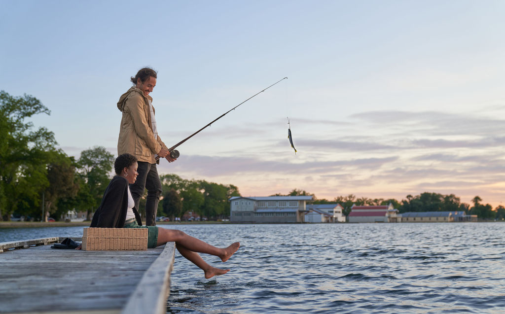
Lake Wendouree
Start and finish: Anywhere along the 6km Steve Moneghetti track that runs around the perimeter of Lake Wendouree.
Distance: 6km.
Terrain: Flat gravel walking path.
Estimated duration: 1 hour.
What to expect: This walk can be done in parts and can start and finish most places along the track.
Along your walk, admire wetland birds, grand homes, historic monuments, boathouses and the Ballarat Botanical Gardens.
Drinking fountains, playgrounds and seating are dotted around the lake.

Ballarat-Skipton Rail Trail
Start: The trail is signposted from Wendouree Station. You can also start next to the rail crossing on Ring Rd.
Distance: Almost 60km (Ballarat to Smythesdale 20km)
Terrain: Fine gravel, hilly.
What to expect: The 53km Ballarat–Skipton Rail Trail runs along the former railway to Skipton, from western Ballarat, Haddon, Smythesdale and Pittong to Skipton.
Upgraded in 2008, this trail goes through native grasslands, historical gold mining sites and over an impressive trestle bridge near Newtown is open for trail users.
History boards with trail information are sited at various points along the trail.

Woowookarung Regional Park
Dogs permitted on lead
Ballarat’s new 641-hectare regional park adjoins the suburbs of Ballarat East, Canadian and Mount Clear.
It can be accessed from many roads including York St in Ballarat East and Recreation Road in Mount Clear.
Bushwalking, trail running, cycling, dog walking and horse riding currently occur on an informal network of former state forest and plantation tracks.
Dementia Friendly Forest and Sensory Trail
Distance: 2km return.
What to expect: Australia’s first Dementia-friendly Forest and Sensory Trail. Easy pathways to allow wheelchairs and carers, assistance dogs, and groups for the first section.
An opportunity for people living with dementia to enjoy being in nature.
Forest Trek is for those more physically able and has some challenges to support healthy activity.
The gentle walk features sensory aspects and quiet places for reflection.
These features have been chosen to evoke positive memories, feelings and sensations.
Grass Tree Nature Trail
Distance: 3.6km return.
What to expect: Medium grade. Grass trees, wildflowers and lookout with interpretive signage.
Fern Loop and Cherry Ballarat Loop
Distance: 4.3km return.
What to expect: Medium grade. Deep gullies, wildflowers and tree ferns

Mount Buninyong
Distance:
- Crater Walk (1.2km) with viewing platform – accessible for people with a disability
- Zigzag Summit Walk (3km)
- South Walk (3.5km) to the summit via the Crater Walk
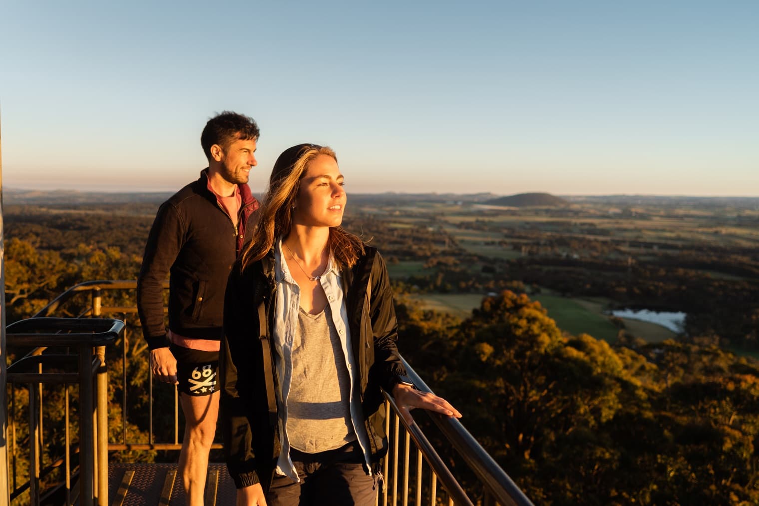
What to expect: Make sure you bring a camera because once you’ve reached the top of Mount Buninyong (which sits at 745m above sea level), you’re just a short climb up the fire tower away
More Ballarat trails

Hepburn
Creswick Regional Park
Dogs permitted on lead
Centrally located between Ballarat and Daylesford, Creswick Regional Park is home to a variety of native wildlife and colourful spring wildflowers.
Explore the ancient hills, discover relics from the gold mining era, or enjoy the peaceful surroundings of tranquil St Georges Lake.
St Georges Lake
Distance: 1.8km.
Estimated duration: 40 minute circuit.
What to expect: Moderate trail around the lake. Forested walk with views of the lake.
La Gerche Forest Walk
Distance: 2.2km.
Estimated duration: 1 hour circuit.
What to expect: Easy walk and a great family walk. Guided walk with interpretive signage.
More Hepburn trails

Pyrenees
Mount Buangor State Park
Dogs and pets not permitted
Waterfalls Nature Walk
Distance: 1km.
Estimated duration: 45 minutes return.
What to expect: Easy walk with a step section to Ferntree Waterfall.
Two Mile Circuit Walk
Distance: 2-3km walk.
Estimated duration: 1 hour return.
What to expect: Can start from Bailes or Ferntree visitor sites – easy walk. Tree fern-lined banks and tall forest.
Middle Creek Walk
Distance: 6km walk
Estimated duration: 2 hours return.
What to expect: Easy walk beginning from either Middle Creek or Ferntree visitor areas.
Jenny Clayton Circuit
Distance: 8.5km.
Estimated duration: 2-3 hours return.
What to expect: Easy walk with a few steep sections. Passes through forest communities and rocky outcrops with views.

Moorabool
Lal Lal Falls
Distance: 200m.
What to expect: Lal Lal Falls is best viewed in winter and spring when heavier rainfalls mean there's plenty of water.
Take a short 200m walk to the viewing platform that looks down over the falls, or go a little further around the gorge on the Von Guerard View Track for a long-distance view across the gorge.
Werribee Gorge State Park
Dogs not permitted
Short Circuit Walk
Distance: 5km circuit.
Estimated duration: 2 hours.
What to expect: Grade three walk (moderate).
Walking on uneven ground with many steps, some rock hopping and steep hill sections involved.
Open rocky woodlands with a half-way opt out at Meikles Picnic Area.
Werribee Gorge Circuit Walk
Distance: 10km circuit.
Estimated duration: 5 hours.
What to expect: Grade three walk (moderate).
Walking on uneven ground with many steps, some rock hopping and steep hill sections.
Excellent views along the gorge rim.
An exciting 50-metre section of cable handrail is provided to assist walkers on high angle rock above the river.
Ironbark Gorge Walk to Falcons Lookout
Distance: 3km.
Estimated duration: 2 hours return.
What to expect: Grade three walk (moderate).
Walking on uneven ground with steps, rock hopping and steep hill sections.
Panoramic views of the gorge and beyond.
Lederderg State Park
Dogs not permitted
Mackenzies Flat to Grahams Dam
Distance: 3km.
Estimated duration: 1 hour return.
What to expect: Grade three walk, with three river crossings.
Parks Victoria does not recommend swimming in streams due to hidden debris, deep cold water and slippery rocks.
A lovely walk beside the river upstream from Mackenzies Flat Picnic to Grahams Dam.
Blackwood Mineral Springs to Shaws Lake to Sweets Lookout
Distance: 3.5km.
Estimated duration: 2 hours return.
What to expect: An easy walk which starts near the caravan camping area and passes historical features typical of the Blackwood area.
More Moorabool trails

Overnight walks
Goldfields Track
Distance: 210km one way.
What to expect: The Goldfields Track stretches along the Great Dividing Range between Bendigo, Ballarat and Buninyong.
The four-hour walk from Creswick to Ballarat follows the same path miners walked a century ago.
This track takes mountain bikers and bushwalkers through some of central Victoria’s beautiful forests and landscapes.
Many overnight opportunities along the way.
Beeripmo Walk
Distance: 24km.
Estimated duration: 12 hours return.
What to expect: This strenuous overnight walk passes between Mt Cole State Forest and the Mount Buangor State Park.
An overnight walking experience for fit and experienced walkers.


